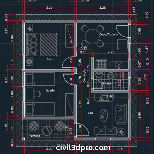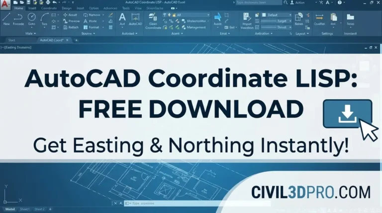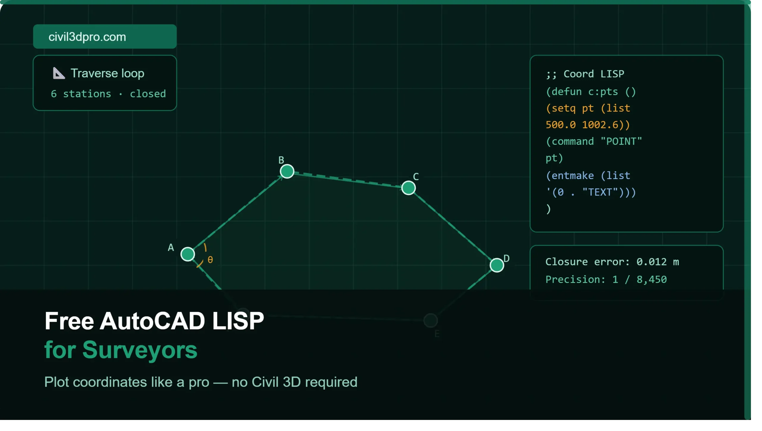
Free AutoCAD LISP for Surveyors – Plot Coordinates Like a Pro
Land surveying generates mountains of coordinate data. The question is: what’s the fastest way to get that data into AutoCAD accurately? The answer that thousands of surveyors and civil engineers rely on is a free AutoCAD LISP for surveyors — a lightweight script that automates the entire coordinate plotting process inside AutoCAD, no Civil 3D license required.
This post covers what these LISP routines are, what makes a good one, and how to pair them with professional learning resources to build a truly efficient surveying workflow.
The Surveyor’s Problem: Too Many Points, Too Little Time
A standard traverse survey on a medium-sized project can generate hundreds to thousands of coordinate points. Plotting each one manually means:
- Typing individual X and Y values into AutoCAD
- Labeling each point by hand
- Checking and rechecking for data entry errors
- Repeating the same keystrokes thousands of times
This is where a LISP for coordinates in AutoCAD becomes the most valuable tool in your digital kit. It takes your coordinate spreadsheet and does all of that automatically — in seconds.
To understand how those field coordinates are generated in the first place, our Traverse Survey breakdown explains the full process from fieldwork to final coordinates, which is exactly the data your LISP routine will consume.
What Makes a Good Free AutoCAD LISP for Surveyors?
Not all LISP routines are created equal. Here’s what to look for in a quality coordinate LISP for AutoCAD free download:
🔹 Flexible Input Format
The best routines accept common coordinate formats — comma-delimited, tab-delimited, or space-separated — without requiring you to reformat your data.
🔹 Automatic Labeling
A good routine doesn’t just plot a dot — it adds a text label with the point number, easting, northing, and elevation automatically.
🔹 Layer Control
Quality LISPs place points and labels on named layers automatically, keeping your drawings organized from the start.
🔹 Error Handling
If a line in your data file has a problem, a well-written LISP will skip that line and continue rather than crashing entirely.
🔹 Speed on Large Datasets
If your routine takes longer than a minute to plot 1,000 points, it’s poorly optimized. Good routines are nearly instant regardless of dataset size.
Free AutoCAD LISP for Surveyors Download — Video Tutorial
We’ve produced a complete step-by-step video showing exactly how to use our free coordinate LISP routine in AutoCAD:
📹 [Video tutorial will be embedded here]
The tutorial walks through:
- Loading the
.lspfile using the APPLOAD command - Structuring your coordinate data correctly
- Running the command and watching your points populate the drawing
- Verifying output and adjusting label styles
Coordinate LISP vs. Civil 3D COGO Points: Which Should You Use?
This is one of the most common questions from surveyors moving into digital workflows. Here’s an honest comparison:
AutoCAD Coordinate LISP
- Best for: Quick plotting, basic deliverables, users without a Civil 3D license
- Cost: Free
- Output: AutoCAD points and text labels
- Limitation: No surface, no alignment, no intelligent design objects
Civil 3D COGO Points
- Best for: Full survey projects, surface generation, design integration
- Cost: Requires Civil 3D license
- Output: Intelligent COGO point objects linked to surfaces and alignments
- Advantage: Points flow directly into Civil 3D’s surface, alignment, and corridor tools
If you’re already using Civil 3D or plan to, learning both approaches is valuable. Our Civil 3D Pro platform covers everything from COGO points and surfaces all the way to full corridor design — and our structured training program will take you through it step by step.
For those focused on mastering survey-specific Civil 3D workflows, the PLS Mastery program is purpose-built for exactly that.
Step-by-Step: How to Use a Coordinate LISP in AutoCAD
Here’s a general workflow overview (watch the embedded video above for the full visual walkthrough):
Step 1 — Prepare Your Coordinate File
Organize your data in a plain text or CSV file with consistent formatting. A typical structure looks like:
1, 500.000, 1000.000, 45.250, BM1
2, 501.345, 1002.678, 45.310, TP1
Step 2 — Open AutoCAD and Set Up Your Drawing
Set your units, confirm your coordinate system, and create the necessary layers (e.g., SURVEY-POINTS, SURVEY-LABELS).
Step 3 — Load the LISP File
Go to Tools → AutoLISP → Load Application (or type APPLOAD at the command line), browse to your .lsp file, and load it.
Step 4 — Run the Command
Type the LISP command at the AutoCAD command prompt, point it to your coordinate file, and watch the routine plot all your points automatically.
Step 5 — Review and Clean Up
Zoom to extents to review all plotted points. Check a sample of labels against your source data to confirm accuracy.
Pairing Your LISP Skills With Civil 3D Knowledge
The LISP routine gets your data into AutoCAD fast. But the real power comes when you understand the full civil engineering and surveying design workflow that comes after that initial plotting step.
Our course library covers the complete pipeline:
- Land surveying fundamentals: Land Surveying
- Traverse survey theory and practice: Traverse Survey
- Full Civil 3D training from scratch: AutoCAD Civil 3D Complete Course
- Advanced corridor modeling: Roundabout and Intersection Corridor Modelling
- Chapter-by-chapter exercises: Browse our exercise series starting from Chapter 1 through advanced chapters like Chapter 18
These resources are designed to complement practical tools like LISP routines by giving you the conceptual foundation to use them intelligently on real projects.
Common Errors When Using AutoCAD LISP for Coordinates (And How to Fix Them)
Error: “no function definition”
The LISP file didn’t load correctly. Re-run APPLOAD and make sure the file path has no spaces or special characters.
Error: Points plotting at wrong location
Your drawing units don’t match your coordinate units. Check Units settings before running the routine.
Error: Missing labels
Your text style may not be set up. Create a standard text style before running the routine.
Error: Routine stops mid-way
There’s likely a corrupt or malformed line in your coordinate file. Open the file in a text editor and look for blank rows, extra commas, or non-numeric values in coordinate columns.
Final Thoughts
A free AutoCAD LISP for surveyors is one of the most practical efficiency tools available — free, fast, and immediately useful on real projects. Whether you’re a student just starting to learn AutoCAD, a practicing surveyor looking to modernize your workflow, or a civil engineer bridging the gap between field data and design drawings, coordinate LISP routines belong in your toolkit.
Download the routine, watch the tutorial above, and when you’re ready to go deeper into the world of Civil 3D, survey design, and corridor modeling — Civil 3D Pro is here to take you there.
Have questions or need help? Visit our Contact page — we’re happy to help.