How to Get a Professional Grading and Drainage Plan for Your Site | CivilDesigns
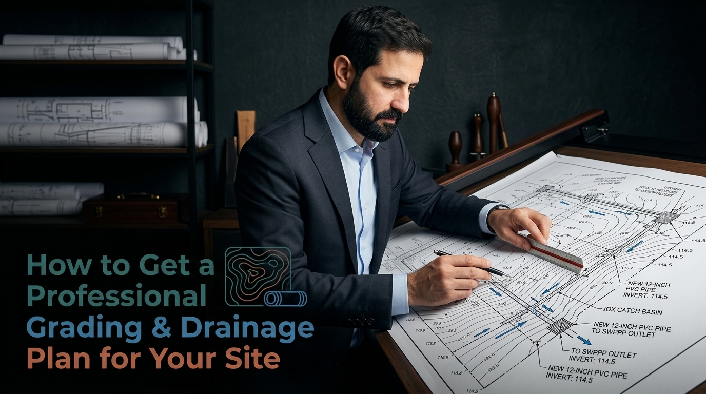
Every construction project in the US — residential, commercial, or subdivision — requires an approved grading and drainage plan before a grading or building permit is issued. Yet for many developers, contractors, and even small engineering firms, getting that plan done accurately and on time is one of the most frustrating parts of the project cycle.
This guide walks you through exactly how the process works, what you need to have ready, and how to get a professional grading and drainage plan for your site without delays, comment cycles, or costly redesigns.
Step 1: Gather Your Survey and Site Data
Before any grading design can begin, your engineer or drafting team needs accurate base data about the existing site. This typically includes:
- Topographic survey — existing ground elevations, contours, and surface features across the entire site
- Boundary survey or plat — legal property limits, easements, rights-of-way, and setbacks
- Utility locates — existing underground utilities that affect grading decisions
- Soil report (geotechnical) — required for slope stability and infiltration-based stormwater designs
- Local jurisdiction grading requirements — minimum slope standards, drainage setbacks, and submittal checklists vary by county and state
If you already have a survey in DWG format, the process moves significantly faster. Most of our clients send us a Civil 3D-compatible survey file and we build the grading design directly on top of it.
Step 2: Define Your Project Scope and Design Intent
A grading and drainage plan looks different depending on the type of project. Before hiring a grading plan design company, be clear on what your site requires:
- Residential lot grading — pad elevations, driveway slopes, swale design, rear yard drainage
- Commercial site grading — parking lot grades, building pad, ADA cross-slopes, stormwater collection points
- Subdivision grading — street grades, lot-by-lot pad design, open space grading, and master drainage routing
- Grading plan for land development — rough grading of raw land, cut and fill balance, and erosion control
The clearer your scope upfront, the faster and more accurately a professional grading and drainage designer can deliver permit-ready plans. For a detailed look at the full scope of grading and drainage services we provide, visit our civil design services page.
Step 3: Hire a Professional Grading and Drainage Designer
This is where most project teams hit their biggest bottleneck — finding a qualified Civil 3D designer who understands US local standards, can turn around plans quickly, and won’t require weeks of back-and-forth to get to a clean first submittal.
When evaluating grading and drainage plan services, look for:
- Proven US project experience — your designer needs to understand county-level submittal requirements, not just the software
- Civil 3D proficiency — industry-standard for site grading in the US; avoid firms that deliver basic AutoCAD flat drawings without intelligent surface models
- Cut and fill analysis capability — earthwork volume calculations should come with every grading plan, not as a paid add-on
- Erosion and sediment control plan — most US jurisdictions require an NPDES-compliant ESC plan alongside the grading plan for sites disturbing one acre or more
- Fast turnaround — permit deadlines don’t move, so your designer’s delivery schedule matters as much as their accuracy
At CivilDesigns, we’ve delivered grading and drainage plans for US-based residential, commercial, and subdivision clients. Browse real completed projects in our project portfolio to see the quality and detail level we bring to every submittal.
Step 4: Review the Draft Plan Before Submittal
Once your grading and drainage plan is drafted, don’t submit it straight to the county. A quick internal review catches the issues that trigger comment letters:
- Do finished pad elevations match the architectural floor plans?
- Are minimum slopes maintained across all paved areas (typically 1–2%)?
- Does stormwater drain away from all structures with adequate clearance?
- Are all drainage easements and outfall points correctly shown?
- Does the plan match the erosion and sediment control requirements for your jurisdiction?
A single review cycle before submittal saves far more time than responding to a full round of city or county comments after the fact.
Step 5: Submit and Respond to Agency Comments
Even a well-prepared grading and drainage plan may receive minor comments from the reviewing agency — this is normal. Common comment categories include:
- Slope conflicts with adjacent parcels or easements
- Missing spot elevations at building corners or drainage structures
- Insufficient detention or retention capacity
- Labeling and sheet format corrections
A professional grading plan design company will handle comment responses and revisions as part of the original scope, not charge extra for every correction round. Make sure this is agreed upon before you start.
Get Your Grading and Drainage Plan Done Right
Whether you’re a land developer managing multiple active projects, a civil engineering firm with overflow work, or a contractor who needs permit documents fast — outsourcing your grading and drainage plan services to CivilDesigns is the fastest way to get permit-ready drawings without carrying the cost of in-house Civil 3D staff.
Want to understand the technical side of how we build grading designs? Read our detailed guide on Civil 3D grading methods every engineer should know for a deep dive into the workflows behind every plan we deliver.
Ready to get started? Contact our team with your survey file and project scope — we’ll send you a free quote within 24 hours and can typically deliver a complete grading and drainage plan within 3–5 business days.