Ultimate Guide to Civil 3D Terms Every Engineer Must Know (Beginner to Advanced)
In today’s fast-evolving civil engineering industry, mastering Autodesk Civil 3D is no longer optional — it is a competitive advantage. Civil 3D is not just drafting software; it is an intelligent design platform that helps engineers model real-world infrastructure with accuracy, automation, and efficiency.
However, before becoming proficient in workflows like grading, corridor modeling, or land development, every engineer must understand the core Civil 3D terminology that drives the entire design environment.
This comprehensive guide covers the most important Civil 3D terms, from foundational concepts to advanced tools used by industry professionals.
Why Learning Civil 3D Terms is Critical
Understanding Civil 3D terminology helps engineers:
✅ Work faster inside the software
✅ Reduce design errors
✅ Collaborate effectively
✅ Automate documentation
✅ Deliver approval-ready plans
👉 Simply put — strong fundamentals create high-value engineers.
Core Civil 3D Terms (Must Know)
Alignment – The Backbone of Infrastructure Design
An alignment defines the horizontal path of linear projects such as roads, railways, pipelines, and canals.
It controls direction, geometry, and stationing, making it the starting point for most Civil 3D workflows.
Pro Tip: Finalize alignments early — changes later can impact the entire model.
Profile – Managing Vertical Geometry
A profile represents elevation changes along an alignment.
It helps engineers design safe road grades, vertical curves, and drainage-friendly slopes.
👉 Alignment + Profile = True 3D design path.
Surface – Your Digital Terrain Model
A surface models the ground conditions of your site.
Typically built from survey points, drone data, or contours, surfaces are essential for:
- Earthwork calculations
- Grading
- Drainage design
- Visualization
Types Include:
- Existing Ground (EG)
- Finished Ground (FG)
👉 Remember: Accurate surfaces lead to accurate designs.
Corridor – The Intelligent Modeling Engine
A corridor combines alignment, profile, and assembly to create a dynamic infrastructure model.
When one element changes, the corridor updates automatically.
Widely Used In:
- Highway design
- Residential subdivisions
- Channels
- Site access roads
👉 Master corridors to unlock the true power of Civil 3D.
Assembly – The Cross-Section Template
An assembly defines what your road or pathway looks like in cross-section.
It includes components such as lanes, shoulders, sidewalks, curbs, and slopes.
Change it once — and the entire corridor updates.
Subassembly – The Building Blocks
Subassemblies are individual components inside an assembly.
Examples include travel lanes, barriers, ditches, and daylight slopes.
This modular system allows complete design flexibility.
Feature Line – Precision Grading Control
Feature lines function as intelligent 3D breaklines that control surface behavior.
Perfect For:
- Building pads
- Parking lots
- Drainage channels
- Retaining walls
Many industry experts consider feature lines the secret weapon of grading design.
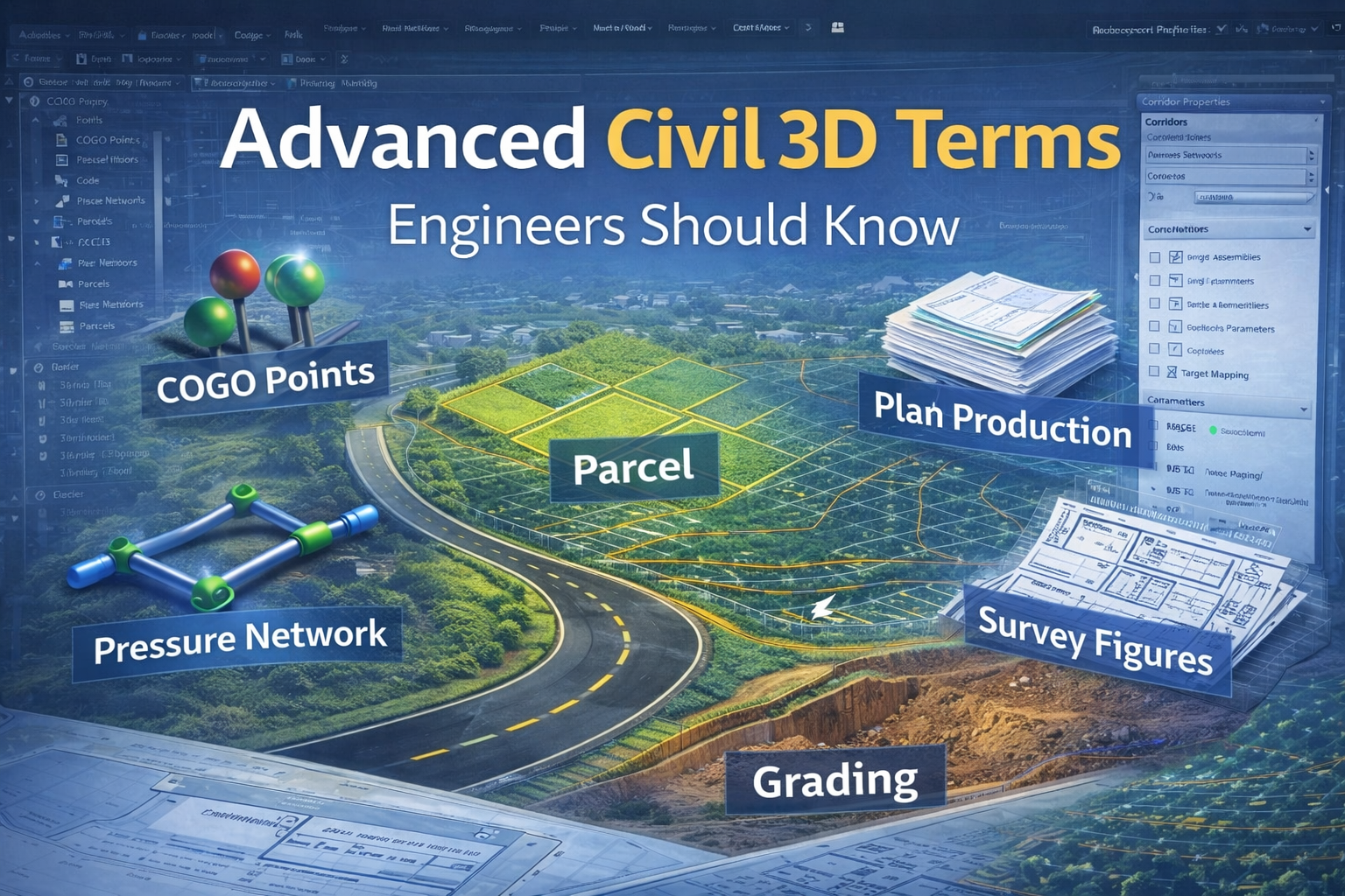
Grading – Shaping Land for Construction
Grading is the process of modifying terrain to ensure stability, drainage, and constructability.
Effective grading delivers:
✅ Proper water flow
✅ Stable slopes
✅ Balanced cut and fill
✅ Smooth tie-ins
Modern grading often combines corridors, feature lines, and grading tools.
👉 Great projects start with great grading.
Section Views – Seeing Your Design in Reality
A section view shows a cross-sectional slice of your design.
Engineers use sections to verify slopes, pavement layers, and earthwork — making them essential for construction drawings.
Earthwork – Optimizing Cut and Fill
Earthwork analysis calculates how much material must be removed or added.
Civil 3D automates this process, helping engineers control costs and improve sustainability.
👉 Smart engineers optimize earthwork early.
COGO Points – The Foundation of Accuracy
COGO (Coordinate Geometry) points represent precise geographic locations containing elevation and coordinate data.
They are essential for surfaces, layout, and survey workflows.
👉 Think of COGO points as the DNA of your terrain.
Survey Figures – Converting Field Data into Design
Survey figures connect field points to form linework like property boundaries, pavement edges, and utilities.
They reduce drafting time and significantly improve terrain accuracy.
Parcels – Intelligent Land Subdivision
Parcels define property boundaries and automatically calculate lot areas.
Ideal for subdivision projects, parcels dynamically update labels when boundaries change.
Plan Production – Automating Construction Sheets
Plan production tools generate plan & profile sheets, section sheets, and match lines automatically.
Benefits:
✅ Saves massive drafting time
✅ Ensures consistency
✅ Reduces human error
For large projects, this tool is a productivity powerhouse.
Data Shortcuts – The Secret to Team Collaboration
Data shortcuts allow multiple engineers to reference shared Civil 3D objects without duplicating files.
This enables synchronized workflows and prevents version conflicts.
👉 Nearly every professional design team relies on this feature.
Pipe Networks – Designing Gravity Utilities
Pipe networks model stormwater and sanitary sewer systems.
They help engineers analyze flow and avoid clashes before construction begins.
Pressure Networks – Modeling Pressurized Systems
Used for water supply and force mains, pressure networks support advanced infrastructure modeling.
Label Styles – Automating Annotation
Label styles dynamically display elevations, slopes, and stationing.
When the model changes — labels update automatically.
👉 This is true design automation.
Object Styles
Control how Civil 3D objects look and behave.
Maintaining consistent styles ensures professional drawings.
Templates
A well-built template can save hundreds of hours by standardizing layers, styles, and settings.
👉 Every serious Civil 3D team uses templates.
View Frames
Used in plan production to create sheets along an alignment automatically.
Perfect for roadway projects.
Targets (Corridor Targeting)
Allow corridors to dynamically tie into surfaces, feature lines, or alignments.
This dramatically improves grading accuracy.
Boundaries
Surface boundaries control triangulation and prevent unwanted surface behavior.
Small setting — massive impact.
How Everything Connects (Civil 3D Workflow)
A typical intelligent workflow looks like this:
👉 Survey Data → Surface → Alignment → Profile → Assembly → Corridor → Sections → Quantities → Plan Production
When one object updates, everything updates.
This is what makes Civil 3D a true BIM-driven platform.
Final Expert Advice
Do not try to master everything at once.
Start with:
✔ Surfaces
✔ Alignments
✔ Profiles
✔ Corridors
✔ Feature Lines
Once these are strong, advanced tools become much easier.
Final Thoughts
Civil 3D is not just software — it is a career accelerator.
Engineers who understand these terms:
✅ Design faster
✅ Earn more
✅ Reduce revisions
✅ Deliver premium projects
👉 Master the terminology today, and you position yourself among the top engineers of tomorrow.
🎥 Want to Master Civil 3D Faster?
If you prefer practical learning, explore our Civil 3D training playlist, where students and professionals can watch step-by-step workflows based on real-world projects.
✅ Beginner to advanced tutorials
✅ Corridor & grading workflows
✅ Site development examples
✅ Expert engineering tips
👉 Watch the full playlist here
Start learning today — and become the engineer companies want to hire.